Where does the water come from?
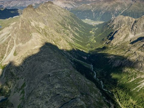
Preventing the drying-up of mountain springs and streams is a great concern of the Rhaetian Railway. It is therefore important to understand how the interdependence of springs and bodies of surface water is linked to prevailing hydro-geological conditions inside the mountains. Thanks to various works of investigation and research, we can forecast how much mountain water will be drained from the tunnel, and what effect this is likely to have on the area’s water resources.
Several bodies of water in the Albula region were dyed in the summer of 2009 in order to trace the route of their corresponding underground waterways. The experiment investigated the dependency of surface lakes and streams on their sources below the level of the tunnel, along with the now-familiar outflows of water in the Albula Tunnel.
Special fluorescent dyes were added to the water at six different sites. Samples were then taken at five points downstream, and the dye residues tested. These investigations allowed the flows of water inside the mountain to be traced with greater accuracy, for taking into account accordingly at the construction planning stage.
Mountain water level
The mountain water level approximately matches the contour height of the surrounding terrain. The construction of the existing tunnel probably led to the fall in local water levels in the area of the cellular limestone formation.
Albula Pass
Given the absence of lakes and streams, virtually all precipitation water seeps into the Raibler cellular limestone.
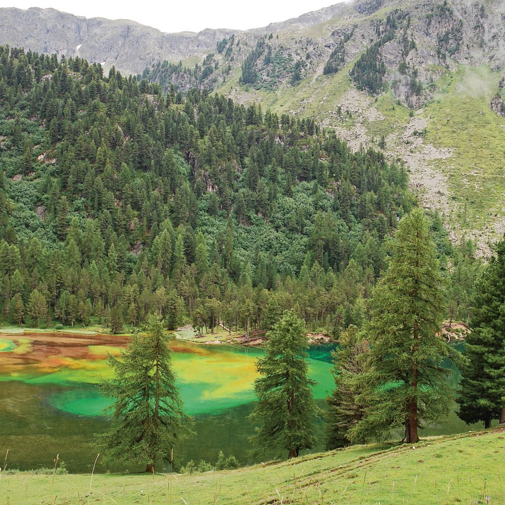
Plateau Igls Plans
There are several turquoise-coloured lakes and an abundant spring in this area; all supplied via the cellular limestone. The corresponding clashing of waters is easy to observe in the lakes. The water flowing from the various lakes comes together at this point to form the stream known as the Albulabach.
S-chagnenbach
The area above the Preda Tunnel entrance is dotted with surface springs fed via the Allgäu slate. These springs are the source of the mountain stream that flows under Preda Station and into the Albulabach.
Lake Palpuogna
The Albulabach turns into Lake Palpuogna at 1,918 metres above sea level. The artificial lake was created for the construction of the original tunnel at the end of the 19th century, in order to power the hydraulic drilling machines that were the cutting-edge technology of the time. The facility now supplies energy to the region as a hydroelectric power station operated by the Bergün Electricity Works.